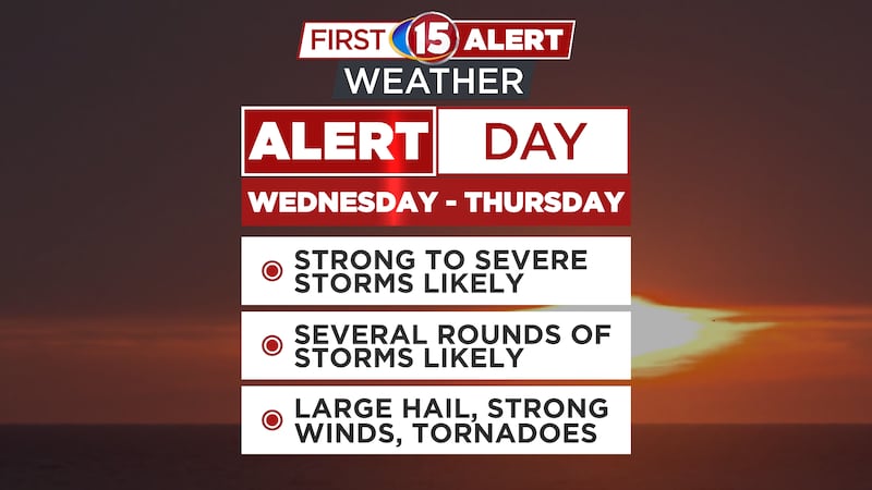
Severe Weather Likely Tonight
Have A Plan Of Action Monday Night
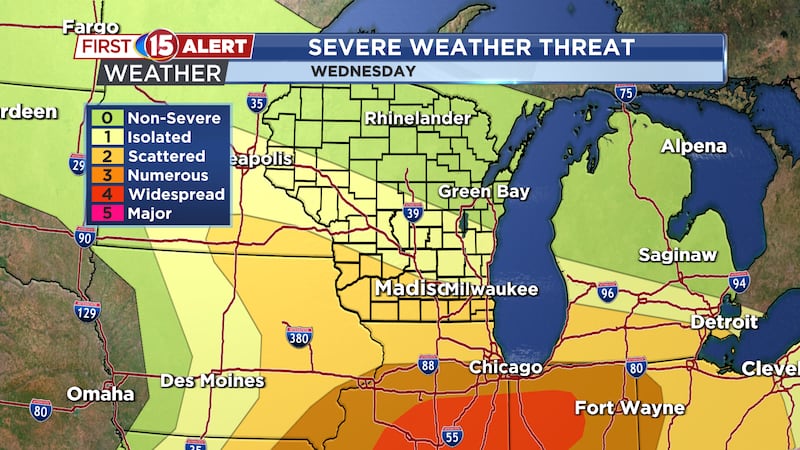
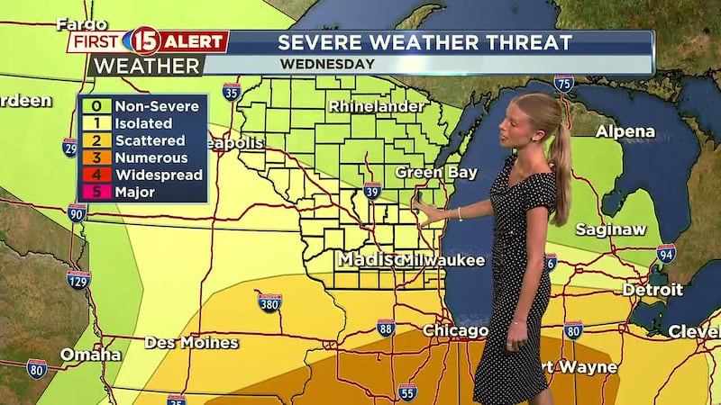
- Destructive Wind Possible
- Isolated Tornadoes
- River Flooding Worsens
Download the First Alert Weather app
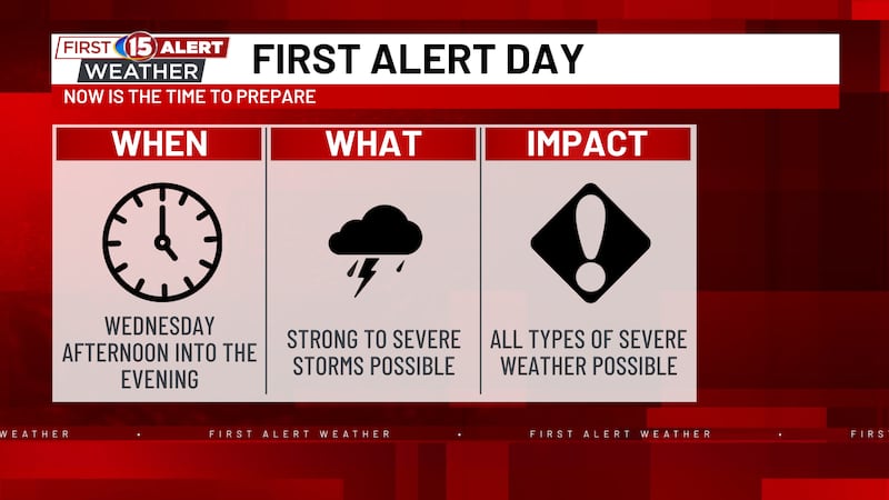
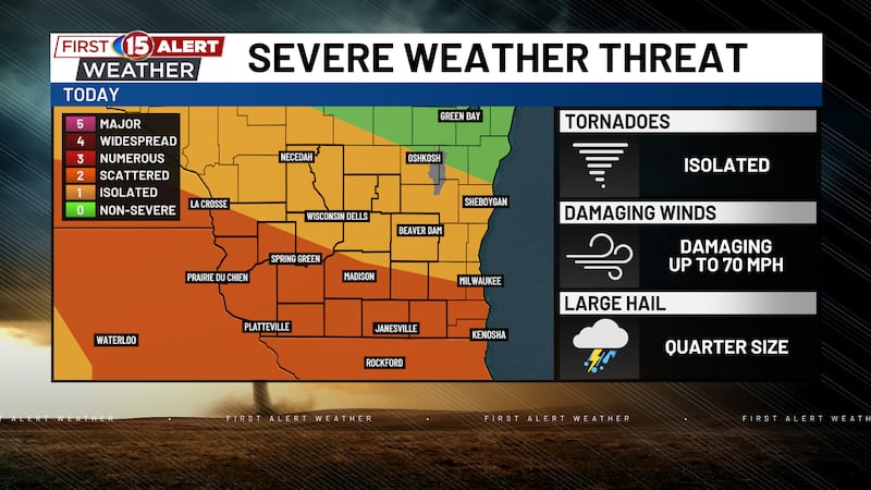
MADISON, Wis. (WMTV) - A First Alert Day is in place as we head through tonight. Right now is the time to prepare for dangerous weather overnight. Have a way to get alerts and have a plan to take action if and when storms move into your area. There is the potential of severe wind damage over a large area as we head through tonight with isolated tornadoes too. Localized flooding is a secondary threat as the river flooding threat grows later this week. Again, this is a potentially serious situation overnight and you should do everything you can to be ready for whatever heads our direction.

What’s Coming Up...
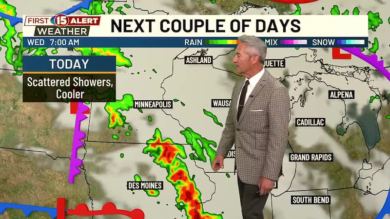
Cloudy skies this evening with a severe line of storms arriving after midnight tonight. Muggy with overnight lows into the lower 70s. Southerly winds 10-15 gusting to 25 mph. Partly cloudy with an isolated shower or storm on Tuesday. Hot and humid with highs near 90 degrees with heat index values near 100 degrees. Clearing skies Tuesday night with lows into the middle 60s. A nice stretch of weather through the middle of the week with cooler temperatures and lower humidity. This will also come with a lot of sunshine and highs into the upper 70s to lower 80s.


Looking Ahead...
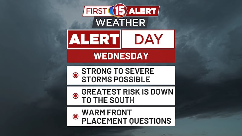
Another storm system arrives late this week into the weekend with showers and storms. Some storms could be strong. It should push out for the end of the weekend. Highs into the lower 80s dropping to the upper 70s as we round out the month of June and head into July.

Click here to download the NBC15 News app or our NBC15 First Alert weather app.
Copyright 2022 WMTV. All rights reserved.